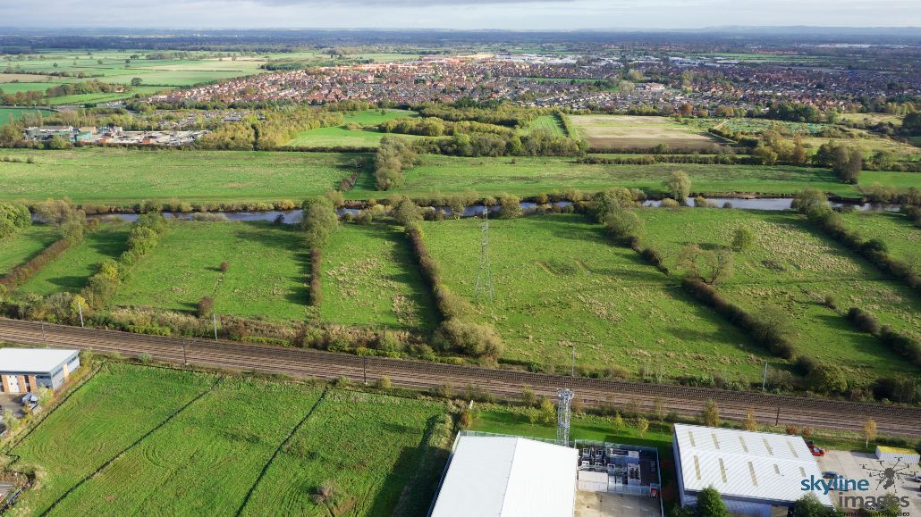
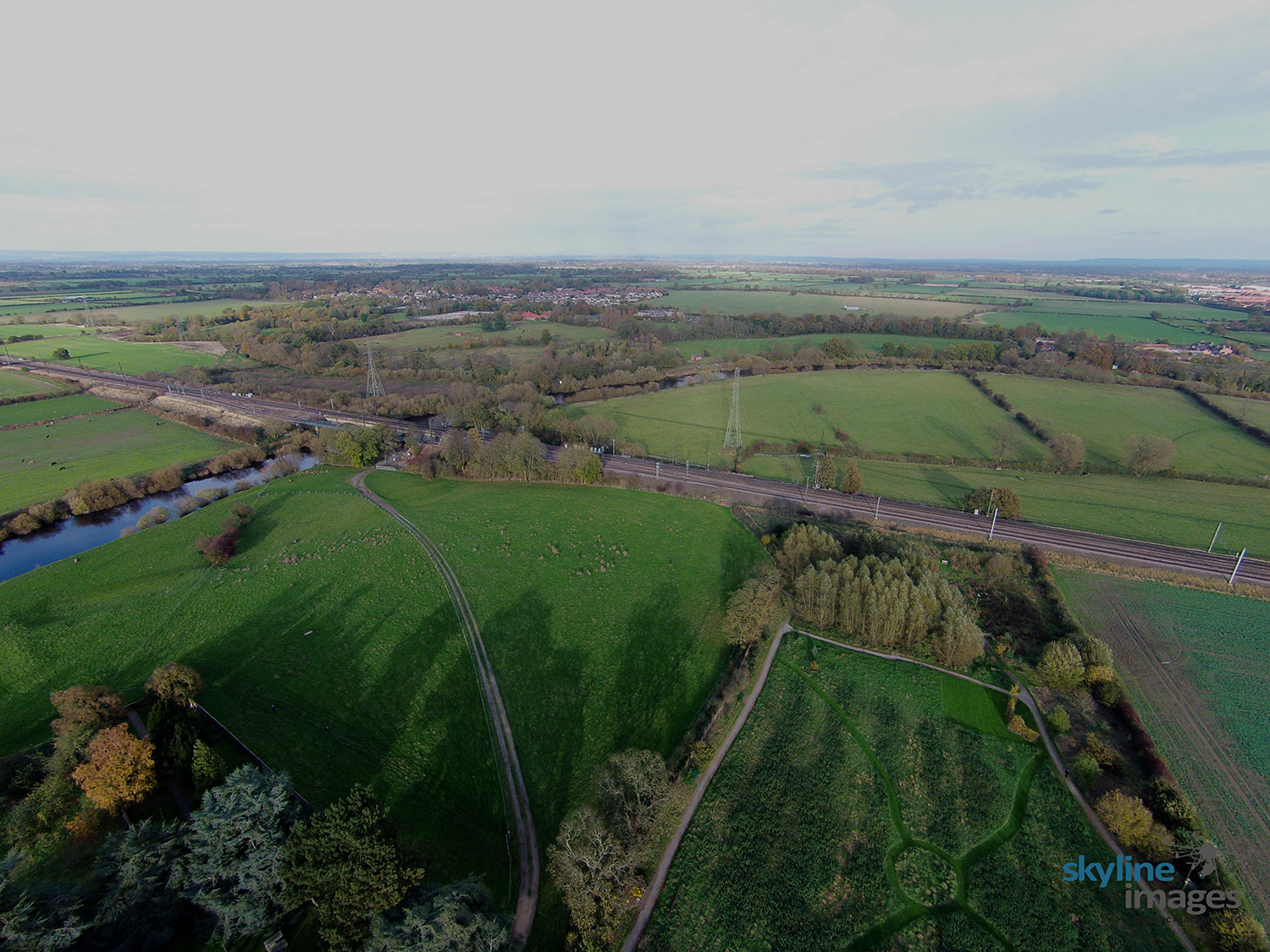
Green Wedges of Green Belt land along the banks of the River Ouse – subject to flooding to protect the City Centre.
Hover over the hotspots to reveal the corresponding P4P codes from the Poppleton Plan.
1

1
P4P8
1
2
3

1
P4P8
2
P4P9
3
P4P10
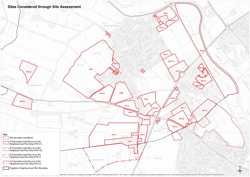
Map
Click on the map to view an ariel view of all areas.


